
Pincushion Mountain at a glance
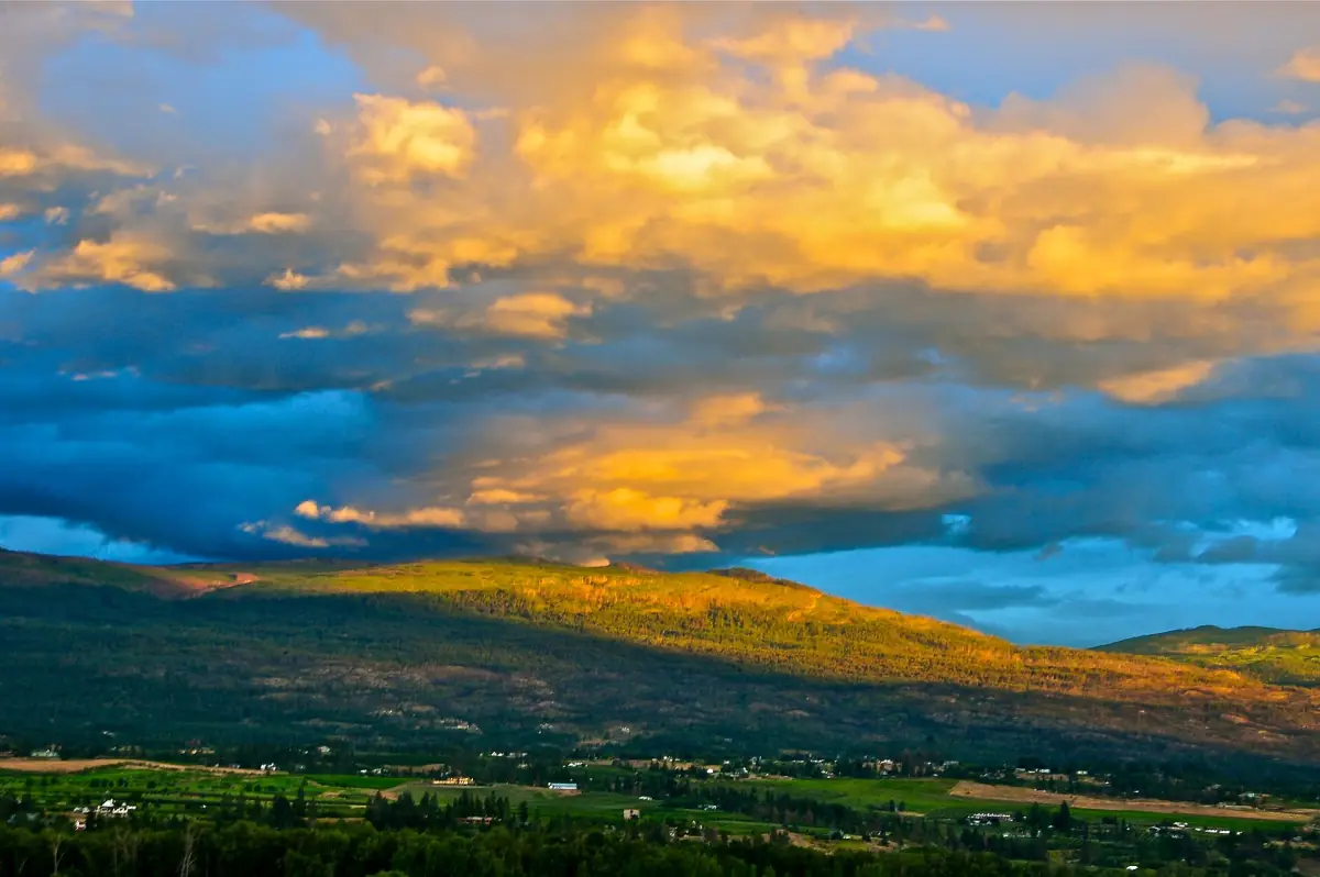
The Pincushion Mountain trail climbs the hill above Peachland. It is an unmaintained, unmarked trail on Crown land. That means no staff, no signage to rely on and no guarantee that it is open or passable on your day.
The trail starts at the top end of Ponderosa Drive and runs 1.8 km to the summit. Start is at 570 m and the top is at 815 m, a difference of 245 m. Plan 40 to 60 minutes to go up. If you come back the same way, the total comes to about 3.6 km.
Is the Pincushion hike hard?
It is short, but it is steep. Expect steep sections and loose scree. The trail gets slippery with snow, ice or mud, and there is no secured winter route. Wear hiking boots and carry water.
Check the hill before you commit. A fire ban or a smoky day is a reason to pick another walk. Check any signs at the trailhead, park considerately on the residential street and keep the road clear.
For an easier outing, try the short creek walk to Hardy Falls, or choose a lake day from the things to do list.
Trail facts and timing
Numbers for the summit trail.
| Detail | Value |
|---|---|
| Trailhead | Top of Ponderosa Drive |
| Distance to the summit | 1.8 km |
| Start and summit height | 570 m and 815 m |
| Climbing time | 40 to 60 minutes |
| Status | Unmaintained, unmarked, on Crown land |
For most walkers, this is a morning or evening hike. Kelowna is the nearest climate reference, with average daily highs of 28.5 degrees Celsius in July and 28.2 in August, so start early in summer and carry extra water. In January the average high is 0.7 degrees, which is when ice and snow make the steep sections slippery. These are long-term averages, not a forecast, so check the weather on the day. See Peachland weather for the full month-by-month picture.
Hikes, tours and day trips near Peachland
Guided walks, wine days and lake tours around Peachland, with live prices and availability.
Other trails near Pincushion Mountain
Not the same trail.
Trepanier Creek Greenway
The Regional District of Central Okanagan runs this as a regional park. Access points are at Pincushion Place, west of Peachland Elementary and at the end of Chidley Road. From Pincushion Place the connection is about 1 km. Do not mix it up with the summit trail.
Rattlesnake Island
Rattlesnake Island is a rocky island in the lake across from Peachland. Treat it as part of the scenery. It has rocky shores and shallows, and you cannot hike it, land on it or safely swim to it.
Park hours
The regional parks are for day use. There is no camping, no overnight parking and no fire, smoking or vaping. Regional parks are open daily from 6 a.m. to 6 p.m. in January, February and from 15 October to 31 December, and longer hours in spring and summer. Closure signs come first.


Pincushion Mountain: frequently asked questions
How long does the Pincushion Mountain hike take?
The climb takes 40 to 60 minutes over 1.8 km. Add time for the way down and for the view.
Where does the trail start?
At the top end of Ponderosa Drive, at 570 m. The summit is at 815 m.
Is the trail marked or maintained?
No. It is an unmaintained, unmarked trail on Crown land, so bring your own navigation and go in daylight.
What should I bring?
Hiking boots, water and weather-appropriate clothing. The trail has steep sections and loose rock, and it can be slippery in snow, ice and mud.