
Kelowna at a glance
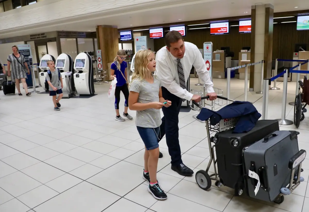
Kelowna lies north of Peachland on the same lake. The city center is about 30 minutes away by road, and the towns are roughly 25 km apart. Kelowna is also the home of Kelowna International Airport, which has the code YLW.
The city had 144,576 residents in 2021. That is the city proper, not the wider metropolitan area. Peachland is the quieter option nearby.
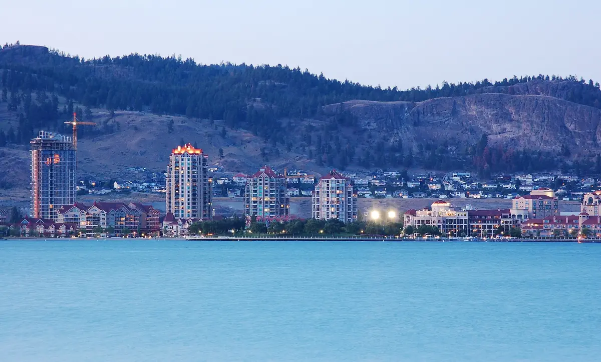
Waterfront Park and the lake shore
The easiest place to start.
Waterfront Park is at 1200 Water Street. It has a beach area, toilets and a boardwalk that links to City Park. Follow the signs before you swim. If you want a beach day nearer Peachland, see the beaches.
If you are choosing between the two towns for your stay, where to stay compares the areas.
Our pick: guided e-bike tour of the city
An easy way to cover downtown and the lakefront in one afternoon.
Hand-picked tours, booked through Viator. Prices are indicative starting prices in US dollars (as of October 2026). Tap a tour for live availability and the current price in your currency.
Kelowna and Okanagan tours
Day trips, tastings and lake outings from Kelowna and Peachland, with live prices and availability.
The William R. Bennett Bridge
The crossing between Kelowna and Westbank.
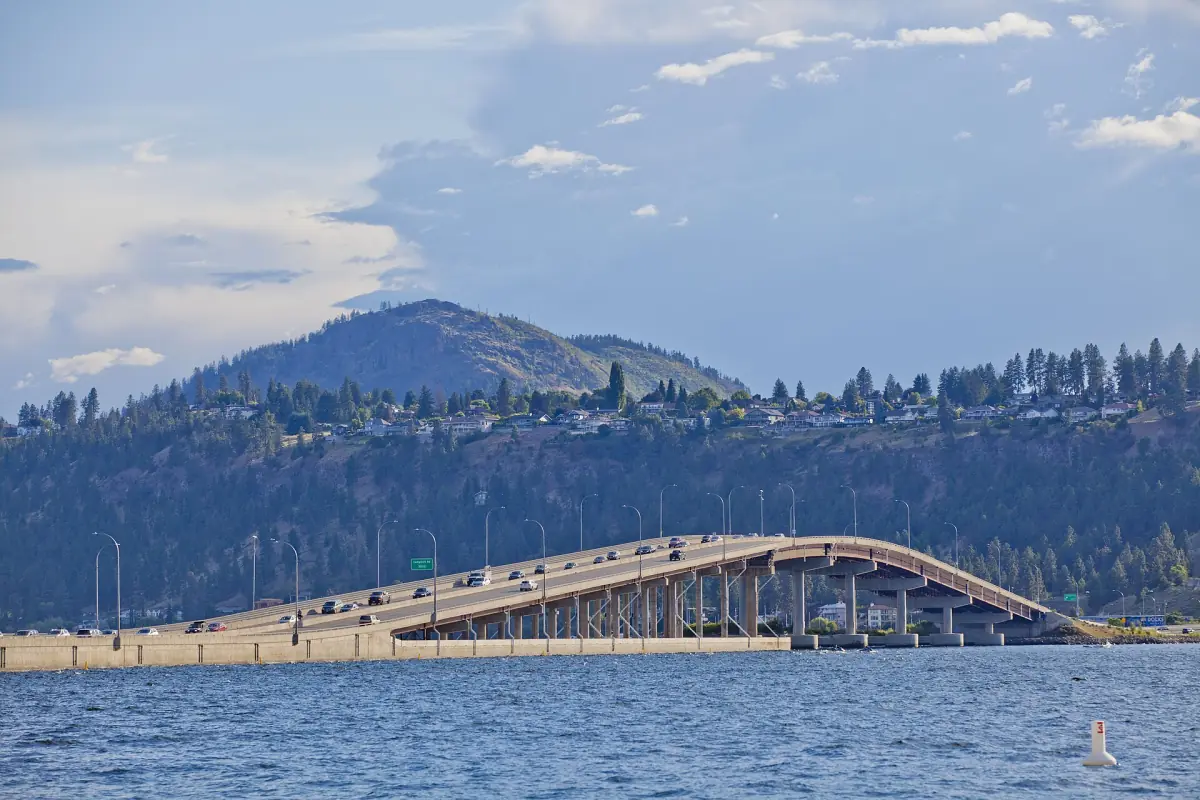
The William R. Bennett Bridge opened on 25 May 2008. It has five lanes and a path for cyclists and pedestrians, and it links Kelowna with Westbank on the west side. Do not confuse it with the earlier lift bridge. You cross it on the way from Peachland if you head north on Highway 97.
Getting from Peachland to Kelowna
By car, bus or taxi.
The drive takes about 30 minutes to the city center, with no guarantee in busy hours. BC Transit Route 22 links Peachland with Westbank Exchange, and Route 97 connects Westbank with UBCO in Kelowna. Fares in the Kelowna region are CA$3 for a single ride and CA$6 for a DayPASS since 1 October 2025. Children up to and including 12 ride free. Check the timetable for your day.
Kelowna airport is a separate trip with its own options. The page on getting to Peachland covers the airport, taxis and the bus connections.
| Option | Good for | Keep in mind |
|---|---|---|
| Car | Flexible day trips and the wine country on the way | Time varies with traffic; drivers should not drink |
| BC Transit | A cheap link to Westbank and on | Plan changes; check the timetable |
| Taxi | Door to door with luggage | Taxis at the airport add CA$2 for rides over 3 km |
For most visitors with a rental car, a day trip by road is the simplest choice.
Wineries and Myra Canyon
Two reasons to go beyond the city.
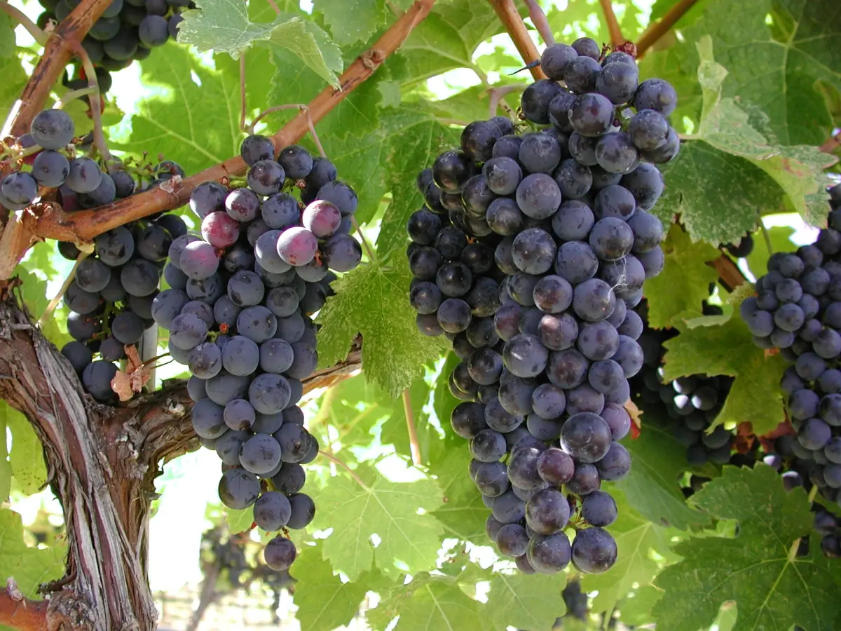
Between Peachland and Kelowna lie the wineries around West Kelowna. Read wineries near Peachland and plan a sober driver or a tour. For Myra Canyon, see the Kettle Valley Rail Trail guide.
Kelowna or Peachland for the day
When each town fits.
Kelowna suits a day of walking by the water and exploring the city. Peachland offers short trails, beaches and a quiet evening. Many people combine both: a morning walk at Hardy Falls, the drive north at midday and the waterfront in Kelowna in the afternoon. Allow the same half hour for the way back, and skip tastings if you are the one driving.
More to plan
Pages that fit a Kelowna trip.
Kelowna: frequently asked questions
How far is Kelowna from Peachland?
About 30 minutes by road to the city center. The towns are roughly 25 km apart.
Is there a bus from Peachland to Kelowna?
Route 22 runs to Westbank Exchange, and Route 97 connects Westbank with UBCO in Kelowna. A single fare is CA$3 and a DayPASS CA$6. Plan for a change and check the timetable.
What is YLW?
YLW is the code of Kelowna International Airport. It is not the code of Vancouver or Peachland.
Can I rent a car at the airport?
Yes. Rental desks are in the terminal.
Where can I walk on the lake in Kelowna?
Waterfront Park at 1200 Water Street has a boardwalk that connects to City Park.